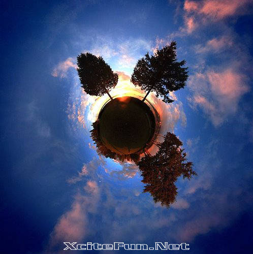
The rule for stereographic projection has a nice geometric description. Think of the earth as transparent sphere, sitting on the plane of the paper. (The south pole touches the paper.) Now imagine a light bulb at the north pole, which shines through the sphere. Each point on the sphere casts a shadow on the paper, and that is where it is drawn on the map.
The south pole appears at the center point of the map. Lines of latitude appear as circles around this center. Things near the south pole are not stretched very much in the map, but the equator is twice as big on the map as on the sphere. The northern hemisphere is stretched quite a bit, and the north pole gets sent off to infinity.