Maps of the world are often either 'political' or 'physical'. The most significant purpose of the political map is to show territorial borders; the purpose of the physical map is to show features of geography such as mountains, soil type or land use.
Geological maps illustrate not only the physical surface, but characteristics of the underlying rock, fault lines, and subsurface structures. Some days before I posted Population Map and here is a compilation shows the best-looking world map of the present and lead in the use of precise tools like aerial surveillance, satellite mapping, and geographic information systems.
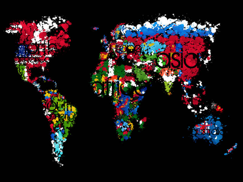
World Map Painted
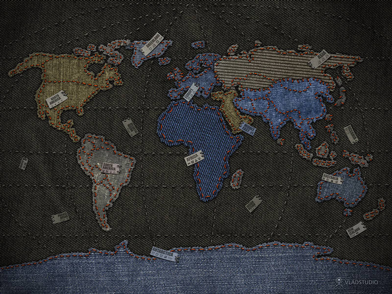
World Map Jeans
World Map by 4Chan

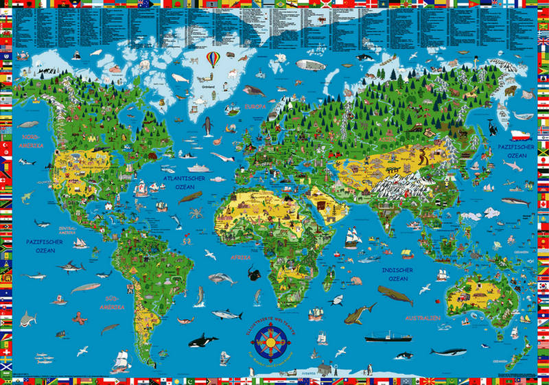
World Map Illustrated
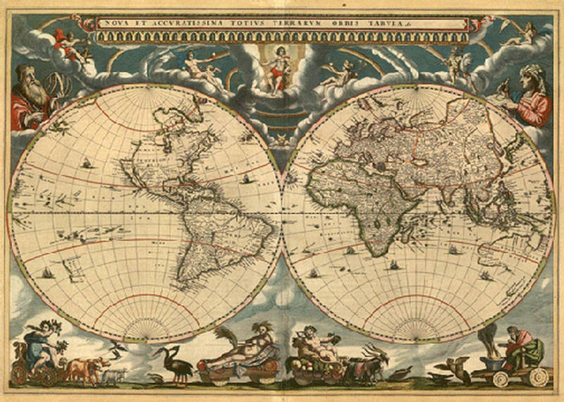
World Map from the 1600's
World Map Interpretation
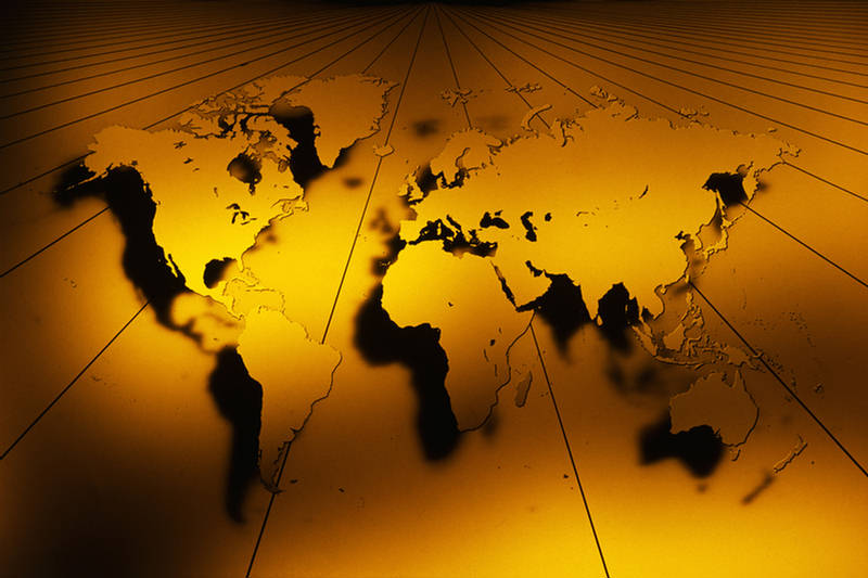
World Map Sun Light
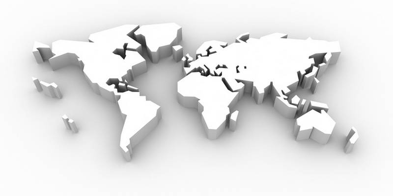
World Map 3D
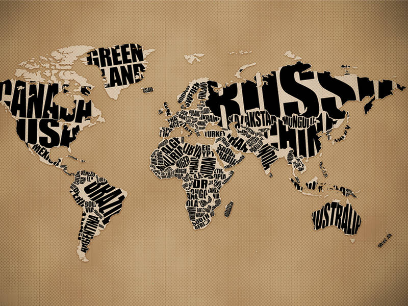
World Map Typographic
World Map Blue Light

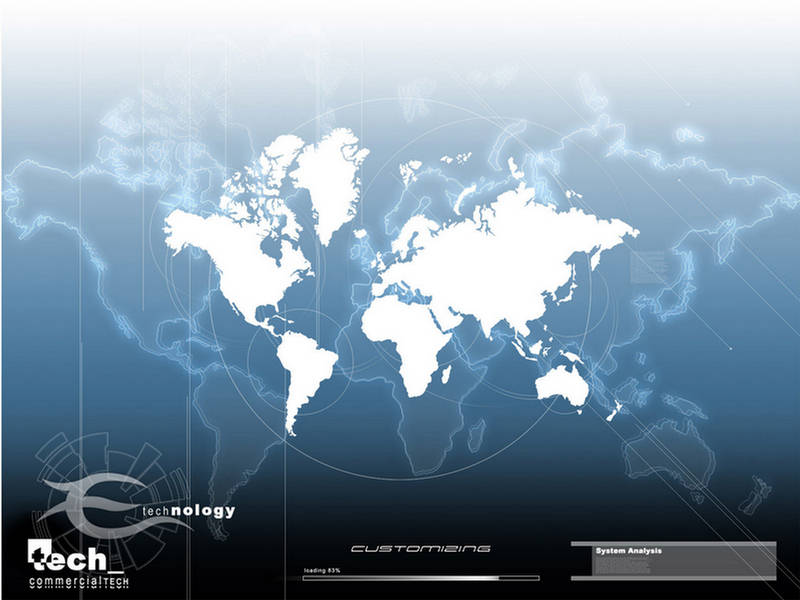
World Map Blue Tech
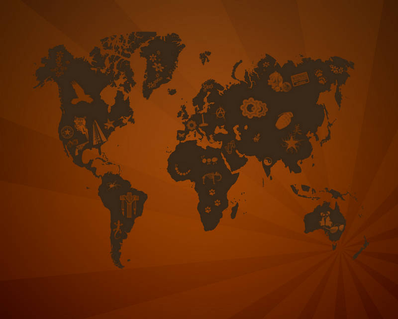
World Map Shake The System

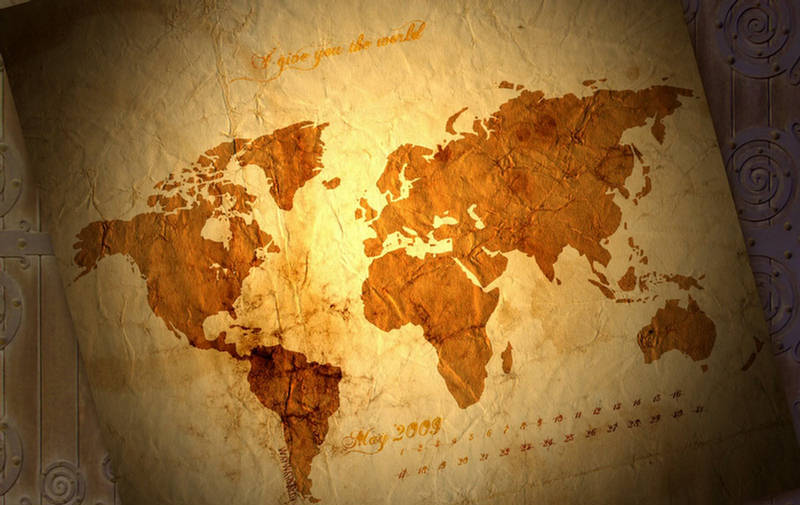
World Map Old-Style
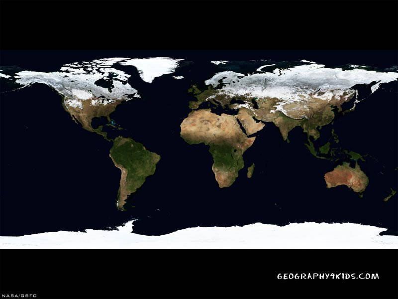
World Map Space View